The app/Property reports
A report for any property.
The lot on the aerial with every boundary length, its zone and controls, the overlays and its history, with every source named. Print it, or save it as a PDF.
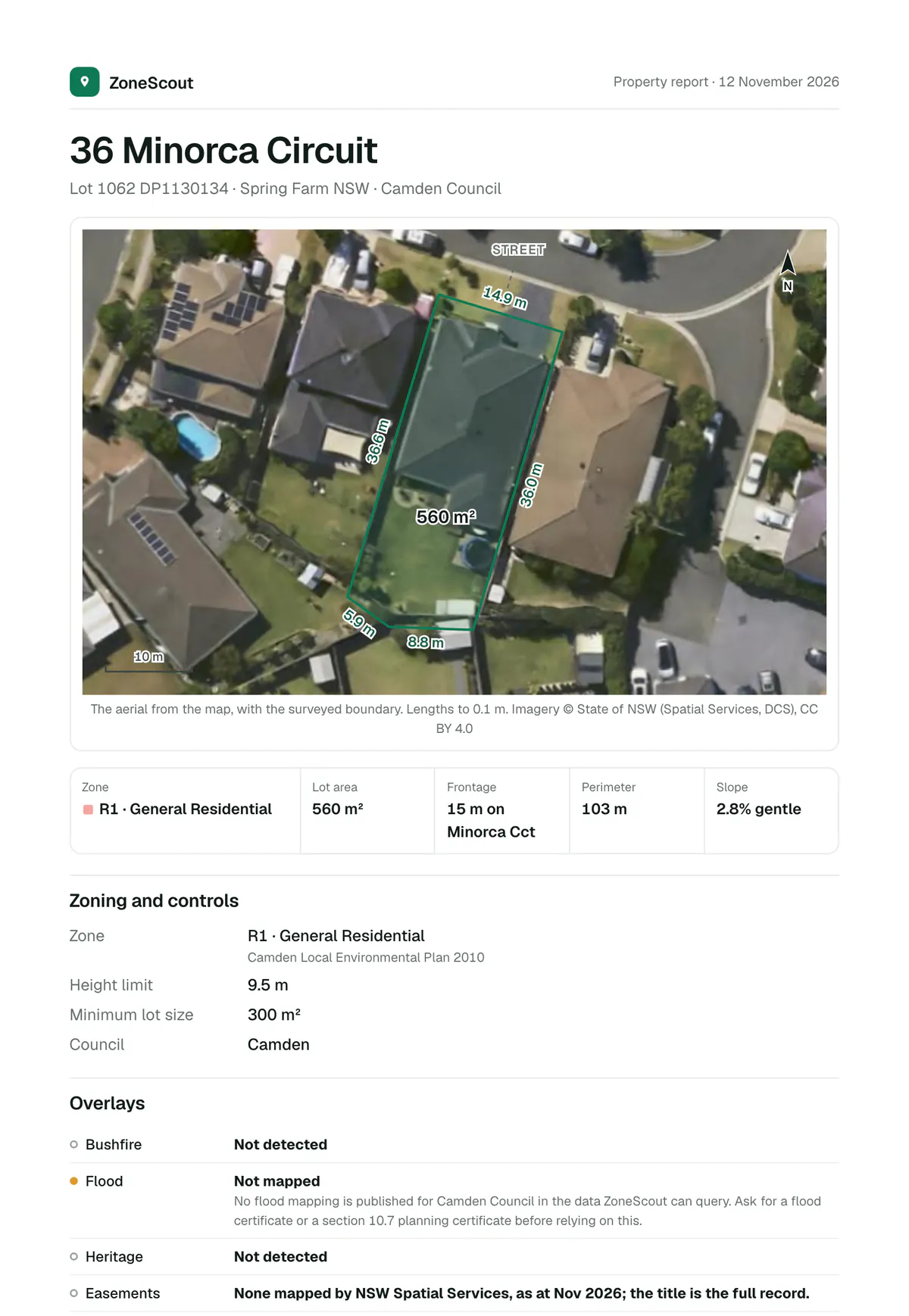
The report for 36 Minorca Circuit, Spring Farm. Imagery © State of NSW (Spatial Services, DCS), CC BY 4.0.
The same figures as the property panel, on the day you make it, with the date on the page.
Where the zone, the boundary, the easements and the slope came from, and the imagery’s licence.
Where something isn’t mapped for the lot, the report says not mapped.
What’s in it.
The aerial with the lot outlined and each side’s length. Then the zone and its planning scheme, the height limit and minimum lot size where they are mapped, the overlays, the lot’s frontage, facing and fall, and the applications on it and nearby.
- A page for each thing found, and a summary up front
- A short note on what it is and isn’t
- For any property, saved or not
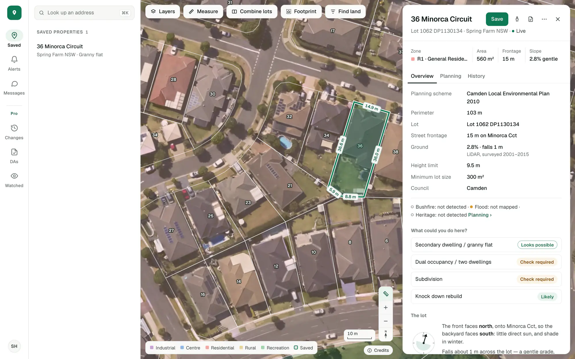
Imagery © State of NSW (Spatial Services, DCS), CC BY 4.0.
Share it without sending a file.
A saved property has a read-only link. Send it to a partner, a client or a builder and they see the property as you do, with nothing to sign up for.
- Read-only, and yours to switch off
- Or ask a planner to call you about it
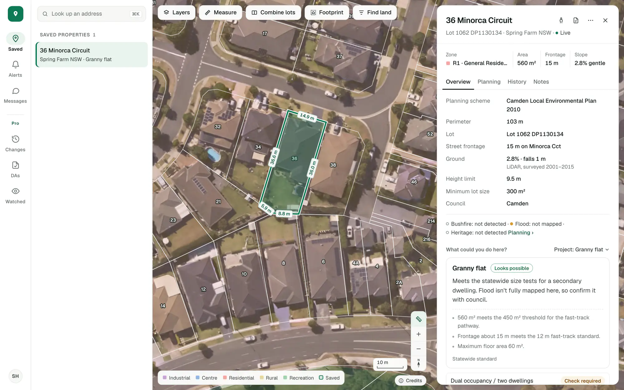
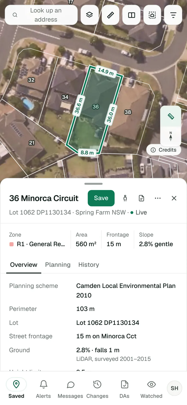
Imagery © State of NSW (Spatial Services, DCS), CC BY 4.0.
Put your own name on it with Pro.
Put your logo, your name and your contact details on it, choose the sections and reword any paragraph. The figures, the sources and the disclaimer stay as they are.
Your own reportsThe report and the share link are in the free account. Your own branding and wording are Pro.
Start with the lot you’re looking at.
Free, in a minute, with just your email.
General guidance only. ZoneScout reads published government planning data and summarises published standards. It isn’t professional planning advice.