The app/Pro/Development applications map
Every development application on the map.
Development applications as dots on the map and rows in a list, with what each proposes and how it went. Narrow them down, watch an area, take the list with you.
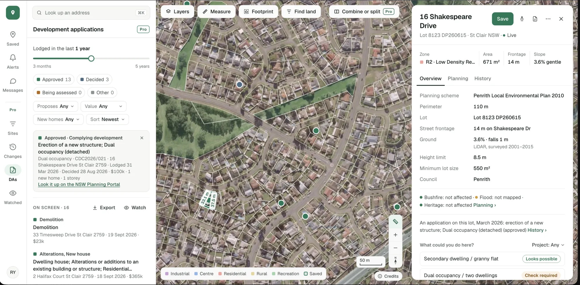
Applications lodged around St Clair NSW in the last year, from the NSW Planning Portal. Imagery © State of NSW (Spatial Services, DCS), CC BY 4.0.
All of NSW, South Australia and the ACT, and a growing list of councils in Queensland, Victoria and Western Australia.
When it was lodged, how it went, what it proposes, its value and the number of new homes.
From each state’s or council’s own public register, kept up to date.
Narrow it to what you’re looking for.
Dual occupancies approved this year. Subdivisions over a million dollars. Everything refused in one council. Set the filters and the map and the list follow.
- Lodged in the last month, year or any dates you set
- Approved, refused or still being assessed
- By what it proposes, its value and its new homes
Pro’s applications list and map, St Clair NSW. Imagery © State of NSW (Spatial Services, DCS), CC BY 4.0.
Watch an area, or export the list.
Press Watch and we check that area with those filters every night. Or export what you’re looking at as a spreadsheet, with each application’s address, dates and outcome.
- New applications in your area, in Alerts each morning
- Exports for what’s on screen, a council or a state
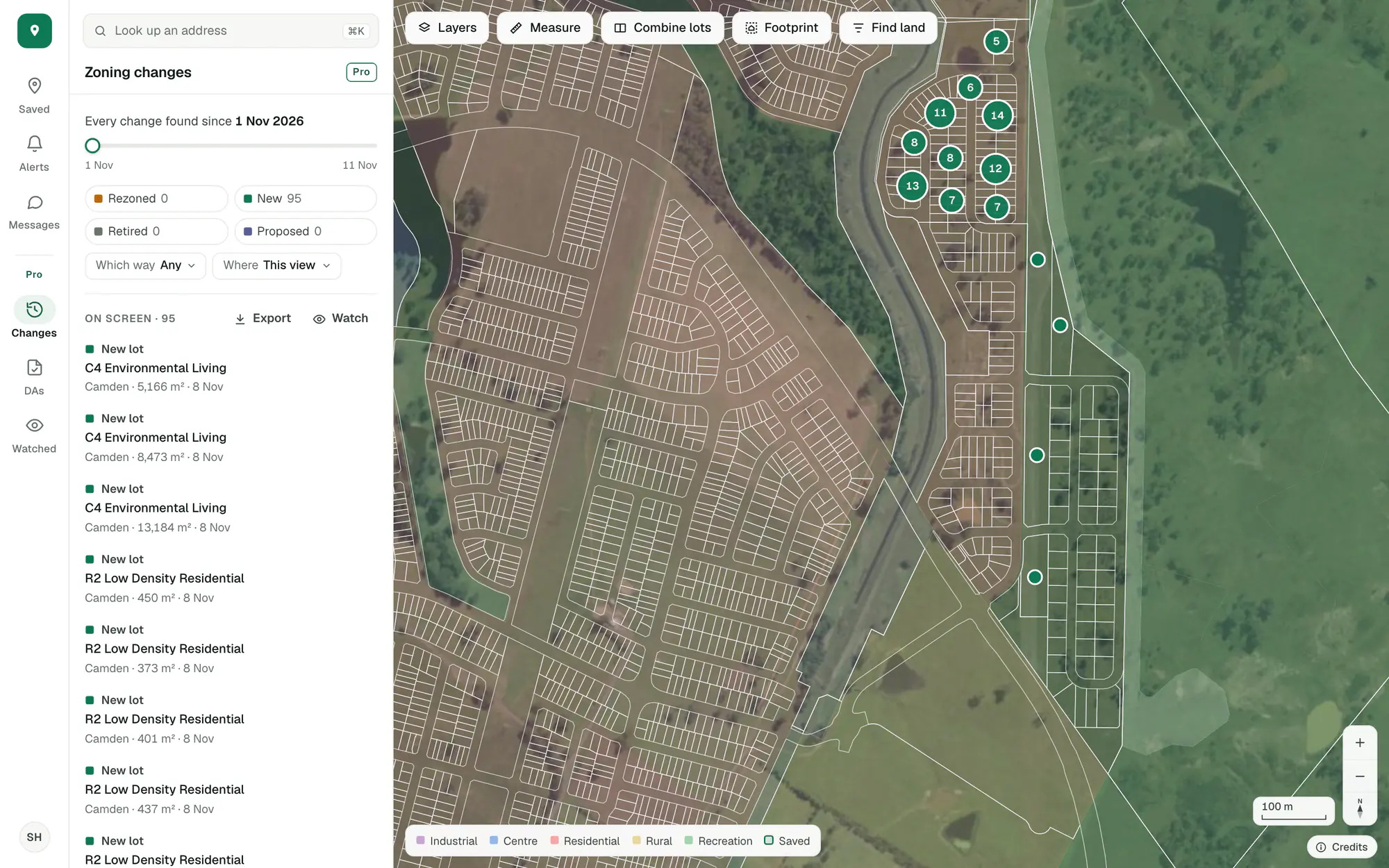
Imagery © State of NSW (Spatial Services, DCS), CC BY 4.0.
Looking for one council’s figures? Development applications by council has the last 12 months for each one we track.
The applications around each property and the approvals nearby are in the free account. The whole map, its filters, exports and watched areas are Pro.
Try it on a site you know.
Create an account with your email and Pro’s tools are in the app to try.
General guidance only. ZoneScout reads published government planning data and summarises published standards. It isn’t professional planning advice.