The app/Development applications
See what’s been lodged and approved nearby.
The applications on a lot and around it, and projects like yours that councils nearby have already approved, with how long they took.
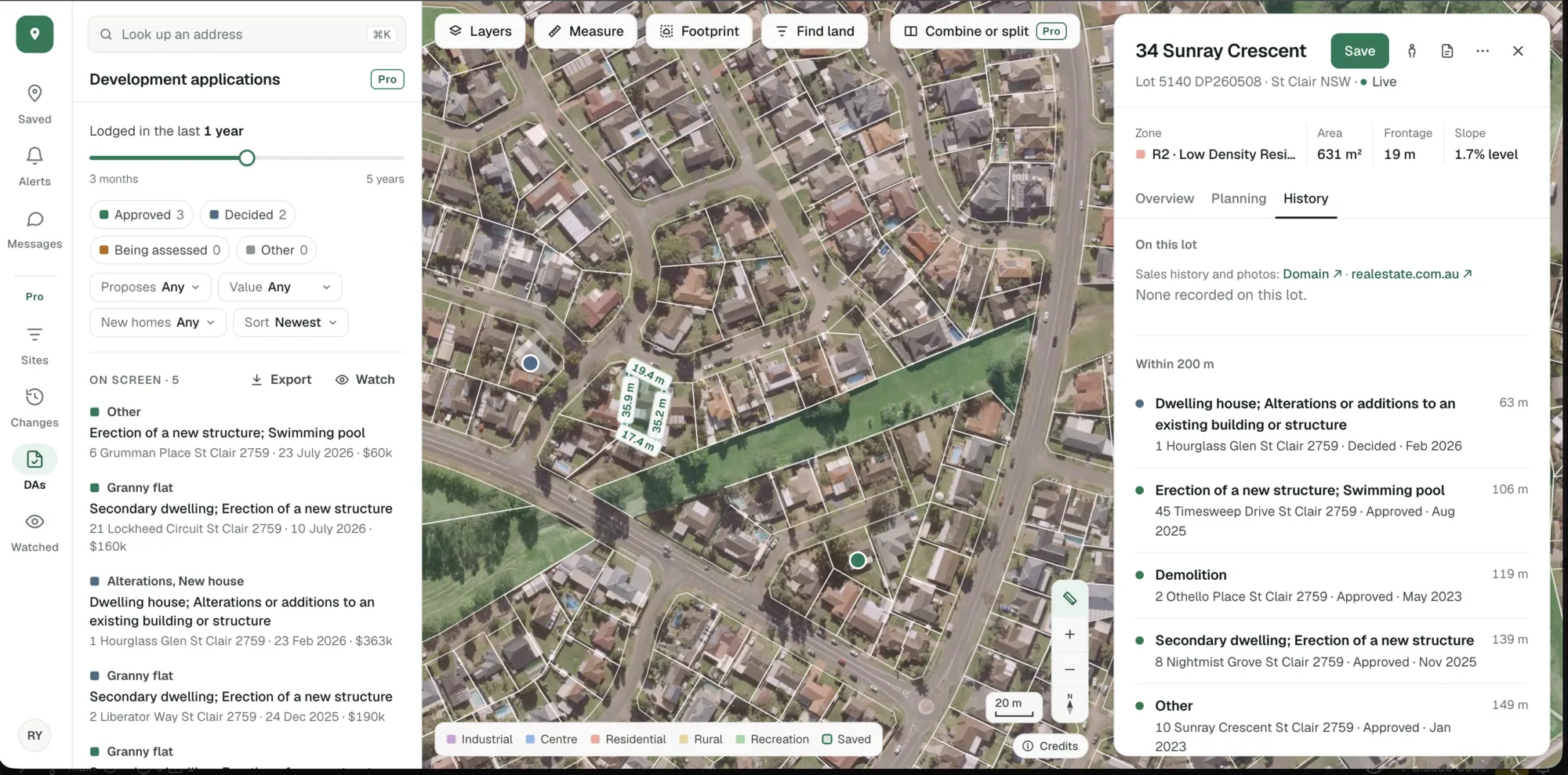
A lot in St Clair NSW and the applications within 200 metres of it, from the NSW Planning Portal. Imagery © State of NSW (Spatial Services, DCS), CC BY 4.0.
Applications lodged on the property and within 200 metres, with what each proposes and where it got to.
Granny flats, dual occupancies and subdivisions decided nearby, so you can see what council has said yes to.
The split between complying development and development applications, and the median days to a decision where the register gives it.
See what council has already approved.
Choose the kind of project and see the ones decided around the lot: how many were approved, which pathway they took and how far away they are.
- 95 granny flats approved within 2 km of this lot since November 2021
- 94 as complying development, 1 by development application
- A median of 58 days for the development applications
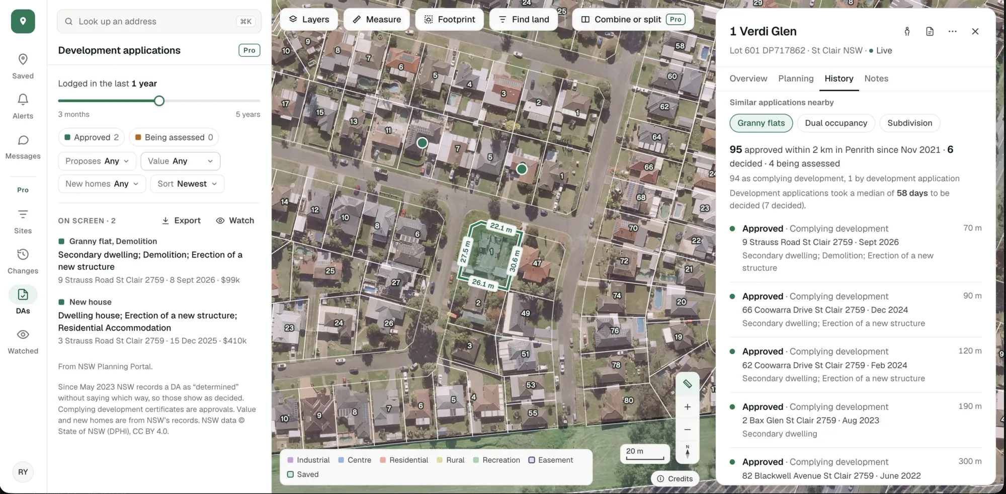
Figures for 1 Verdi Glen, St Clair, as the app showed them on 19 November 2026. Imagery © State of NSW (Spatial Services, DCS), CC BY 4.0.
See every application on the map with Pro.
Development applications across the map and in a list, with what each proposes and how it went, and filters for when it was lodged, the outcome, the value and the number of new homes.
- All of NSW, South Australia and the ACT
- A growing list of councils in Queensland, Victoria and Western Australia
- Years of history, updated from each register
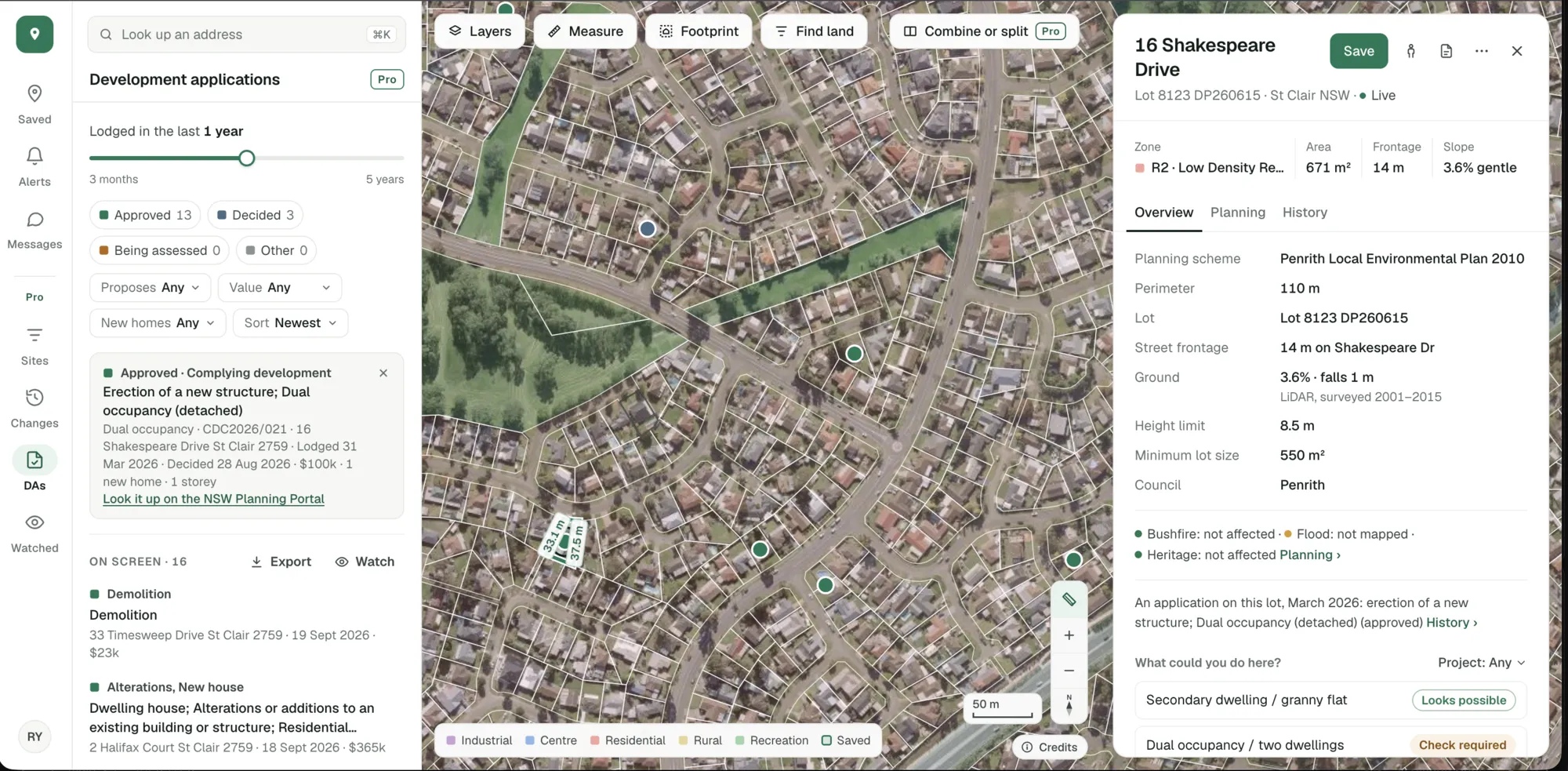
Pro’s applications list and map, St Clair NSW. Imagery © State of NSW (Spatial Services, DCS), CC BY 4.0.
Looking for one council’s figures? Development applications by council has the last 12 months for each one we track.
The applications around each property and the approvals nearby are in the free account. The whole map, its filters and its exports are Pro.
Start with the lot you’re looking at.
Free, in a minute, with just your email.
General guidance only. ZoneScout reads published government planning data and summarises published standards. It isn’t professional planning advice.